Légende
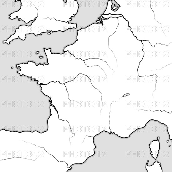
Map of The FRENCH Lands: France & its regions — Île-de-France, Champagne, Normandie, Bretagne, Aquitaine, Occitanie, Provence, Burgundy, Lorraine, Elsass. Geographic chart with coastline and rivers
Date
04 juin 2021
Crédit
Photo12/imageBROKER/Aleksander Nikolaenkow
Notre référence
BRK25D12_011
Model release
Non
Property release
Non
Licence
Libre de droits
Format disponible
65,9Mo (693,6Ko) / 40,6cm x 40,6cm / 4800 x 4800 (300dpi)