Sujet
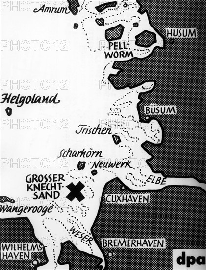
Map shows location of Knechtsand
Légende
The map shows the location of Knechtsand near the North Sea coast of Cuxhaven on 28th November 1951. The sandbank, breeding place of hundreds of thousands of different seabirds, was used by the British army as a military exercise area for several years in exchange for Helgoland.
Info+
Verwendung weltweit, usage worldwide
Date
28 nov. 1951
Crédit
Photo12/dpa-pa
Notre référence
DPA13A01_001
Licence
Droits gérés
Format disponible
62,4Mo (2,4Mo) / 34,6cm x 45,3cm / 4083 x 5346 (300dpi)