Sujet
Map XVII
Légende
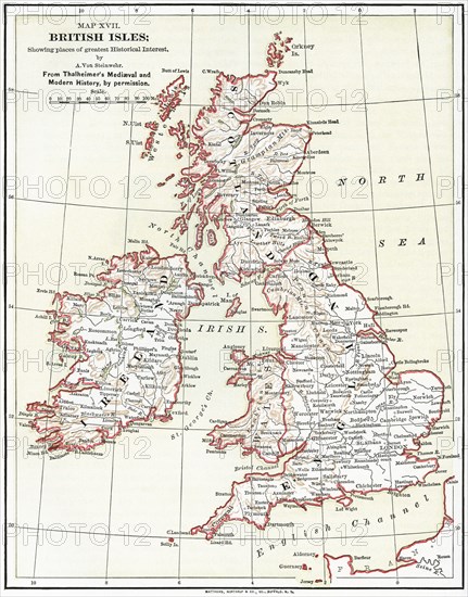
Map XVII, British Isles, by A. Von Steinwehr, from Thalheimer's Medieval and Modern History, Illustration, Ridpath's History of the World, Volume III, by John Clark Ridpath, LL. D., Merrill & Baker Publishers, New York, 1897
Date
06 janv. 1897
Crédit
Photo12/Glasshouse Images/JT Vintage
Notre référence
GLS21A00_075
Model release
NA
Property release
NA
Licence
Droits gérés
Format disponible
52,7Mo (4,5Mo) / 32,2cm x 41,0cm / 3801 x 4845 (300dpi)
Mots clés
map geography British Isles Great Britain United Kingdom islands North Sea Atlantic Ocean English Channel Europe 16th Century 1897 1890-1899 1890's 19th century illustration historical vintage retro color vertical GHIV
Restrictions
Utilisation éditoriale uniquement.