Sujet
Map XIX
Légende
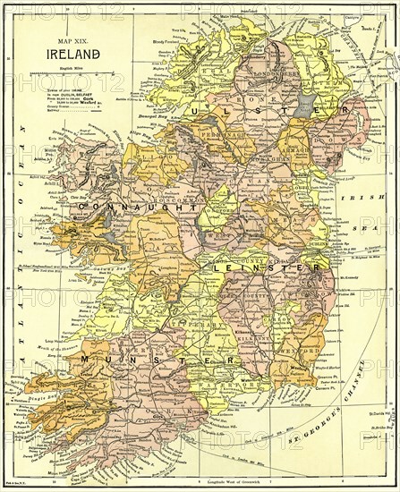
Map XIX, Ireland, Illustration, Ridpath's History of the World, Volume III, by John Clark Ridpath, LL. D., Merrill & Baker Publishers, New York, 1897
Date
06 janv. 1897
Crédit
Photo12/Glasshouse Images/JT Vintage
Notre référence
GLS21A00_089
Model release
NA
Property release
NA
Licence
Droits gérés
Format disponible
50,5Mo (6,3Mo) / 32,1cm x 39,4cm / 3791 x 4658 (300dpi)
Mots clés
Ireland map geography country counties longitude latitude nobody no people 17th century 1897 1890-1899 1890's 19th century illustration historical vintage retro color vertical GHIV
Restrictions
Utilisation éditoriale uniquement.