Sujet
Map of City of London, Westminster and Southwark, 1827. Artist: James Neele
Légende
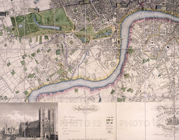
Map of the City of London, Westminster, Southwark and surrounding areas, 1827; showing the River Thames from Chelsea Reach to Blackwall Reach, with a strip within the border at the foot of the map containing a view of Westminster Abbey.
Date
1827
Crédit
Photo12/Heritage Images/City of London : The London Archives
Notre référence
HRM19A76_348
Model release
NA
Property release
NA
Licence
Droits gérés
Format disponible
50,0Mo (3,5Mo) / 40,0cm x 31,3cm / 4728 x 3695 (300dpi)