Sujet
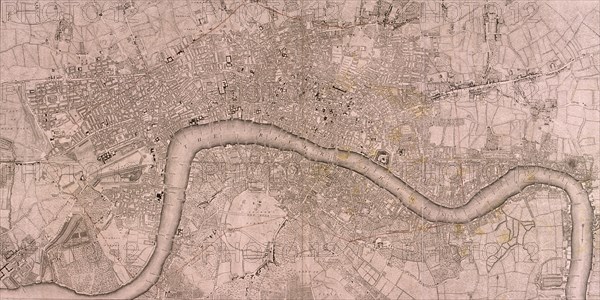
Map of the London showing Civil War fortifications, 1749. Artist: Isaac Basire
Légende
Map of the City of Westminster, City of London, River Thames and Southwark, 1749. The red line shows Civil War fortifications.
Date
1749
Crédit
Photo12/Heritage Images/City of London : The London Archives
Notre référence
HRM19A94_499
Model release
NA
Property release
NA
Licence
Droits gérés
Format disponible
49,9Mo (4,0Mo) / 50,0cm x 25,0cm / 5906 x 2956 (300dpi)