Sujet
Map of the Wars of the Roses, 15th century (1893). Artist: Unknown
Légende
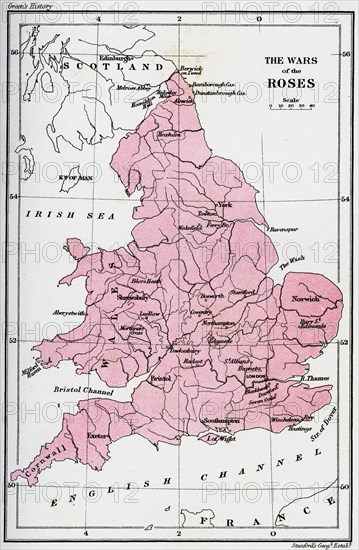
Map of the Wars of the Roses, 15th century (1893). The Wars of the Roses was a civil war fought over the throne of England between adherents of the House of Lancaster and the House of York. The intermittent conflict lasted from 1455 until the decisive defeat of Richard III by Henry Tudor at Bosworth Field in 1485. An illustration from A Short History of the English People, by John Richard Green, illustrated edition, Volume II, Macmillan and Co, London, New York, 1893.
The Print Collector collection
Date
1893
Crédit
Photo12/Heritage Images/The Print Collector
Notre référence
HRM19C29_290
Model release
Non
Licence
Droits gérés
Format disponible
50,0Mo (6,3Mo) / 28,6cm x 43,8cm / 3378 x 5170 (300dpi)