Sujet
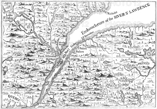
Map of the course of the River St Lawrence as far as Quebec, 1730 (c1880). Artist: Unknown
Légende
Map of the course of the River St Lawrence as far as Quebec, 1730 (c1880). From Popple's Atlas, 1730. A print from Cassell's History of the United States, by Edmund Ollier, Volume I, Cassell Petter and Galpin, London, c1880.
The Print Collector collection
Date
1880
Crédit
Photo12/Heritage Images/The Print Collector
Notre référence
HRM19C49_233
Model release
Non
Licence
Droits gérés
Format disponible
50,0Mo (5,3Mo) / 42,4cm x 29,6cm / 5007 x 3491 (300dpi)