Sujet
Map of Groningen, Netherlands, 17th century Artist: Unknown
Légende
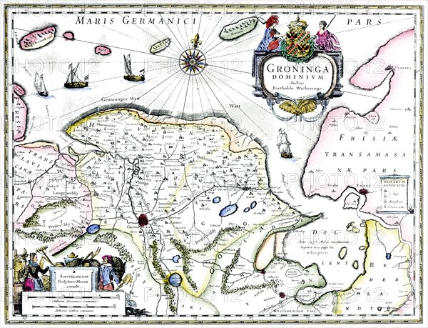
Map of Groningen, Netherlands, 17th century. A map of the Dutch province of Groningen, published by Willem Blaeu after the original design by Barthold Wicheringe.
The Print Collector collection
Date
1600
Crédit
Photo12/Heritage Images/The Print Collector
Notre référence
HRM19C50_328
Model release
Non
Licence
Droits gérés
Format disponible
50,0Mo (5,8Mo) / 40,4cm x 31,0cm / 4777 x 3659 (300dpi)