Sujet
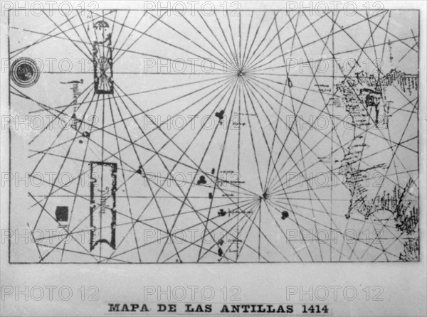
Map of the Antilles, 1414 (1919). Creator: Unknown.
Légende
Map of the Antilles, 1414. In 1918 the American geographer Willian H Babcock studied the maps of Italian geographers of the 15th century who discovered the Greater and Lesser Antilles. The Greater Antilles includes the larger island of Cuba. Cigar card from the History of Cuba, Geografico Universal, Propaganda de los Cigarros Susini y La Corona, Tabacalera Cubana.
The Print Collector collection
Date
1414
Crédit
Photo12/Heritage Images/The Print Collector
Notre référence
HRM19C62_376
Model release
Non
Licence
Droits gérés
Format disponible
50,2Mo (2,5Mo) / 41,1cm x 30,6cm / 4860 x 3613 (300dpi)