Sujet
Political map of North America. Artist: Unknown.
Légende
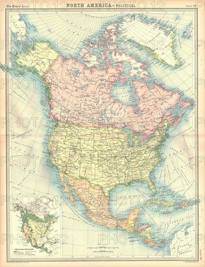
Political map of North America. Map showing Canada, the United States, Mexico, the Caribbean and Central America. Plate 80 from The Times Atlas.
The Print Collector collection
Date
30 nov. 1999
Crédit
Photo12/Heritage Images/The Print Collector
Notre référence
HRM19D44_382
Model release
Non
Licence
Droits gérés
Format disponible
47,0Mo (6,4Mo) / 30,1cm x 39,1cm / 3555 x 4624 (300dpi)