Sujet
Political map of South Western Asia. Artist: Unknown.
Légende
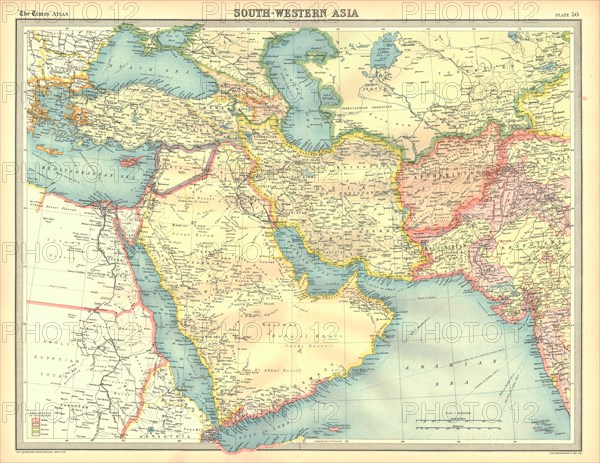
Political map of South Western Asia. Map of the Near and Middle East, showing parts of East Africa and the Arabian Peninsula. Plate 50 from The Times Atlas.
The Print Collector collection
Date
30 nov. 1999
Crédit
Photo12/Heritage Images/The Print Collector
Notre référence
HRM19D45_018
Model release
Non
Licence
Droits gérés
Format disponible
46,8Mo (6,4Mo) / 38,9cm x 30,1cm / 4600 x 3553 (300dpi)