Sujet
Map of the East Indian Archipelago, 1902. Creator: Unknown.
Légende
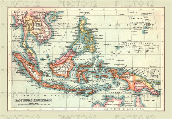
Map of the East Indian Archipelago, 1902. Showing Java, Sumatra, Borneo, Siam, The Philippines, Papua New Guinea and the South China Sea. From The Century Atlas of the World. [John Walker & Co, Ltd., London, 1902]
The Print Collector collection
Date
1902
Crédit
Photo12/Heritage Images/The Print Collector
Notre référence
HRM19D46_266
Model release
Non
Licence
Droits gérés
Format disponible
47,3Mo (4,2Mo) / 41,4cm x 28,7cm / 4885 x 3386 (300dpi)