Sujet
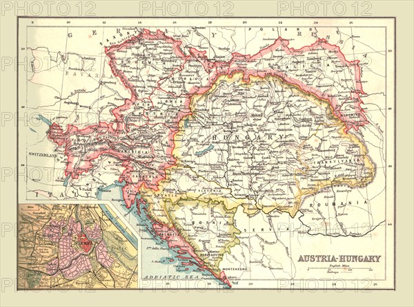
Map of Austria-Hungary, 1902. Creator: Unknown.
Légende
Map of Austria-Hungary, 1902. The Austro-Hungarian Empire including Bosnia, Transylvania, Bohemia, Dalmatia, Silesia, with inset of Vienna. From The Century Atlas of the World. [John Walker & Co, Ltd., London, 1902]
The Print Collector collection
Date
1902
Crédit
Photo12/Heritage Images/The Print Collector
Notre référence
HRM19D46_289
Model release
Non
Licence
Droits gérés
Format disponible
47,3Mo (4,5Mo) / 40,0cm x 29,6cm / 4720 x 3500 (300dpi)