Sujet
Map of Ireland, 1902. Creator: Unknown.
Légende
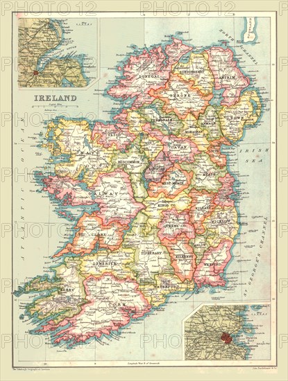
Map of Ireland, 1902. Showing the island of Ireland before the partition of the six counties which became Northern Ireland, with insets showing Dublin and Belfast. From The Century Atlas of the World. [John Walker & Co, Ltd., London, 1902]
The Print Collector collection
Date
1902
Crédit
Photo12/Heritage Images/The Print Collector
Notre référence
HRM19D49_088
Model release
Non
Licence
Droits gérés
Format disponible
47,7Mo (5,9Mo) / 30,1cm x 39,8cm / 3550 x 4701 (300dpi)