Sujet
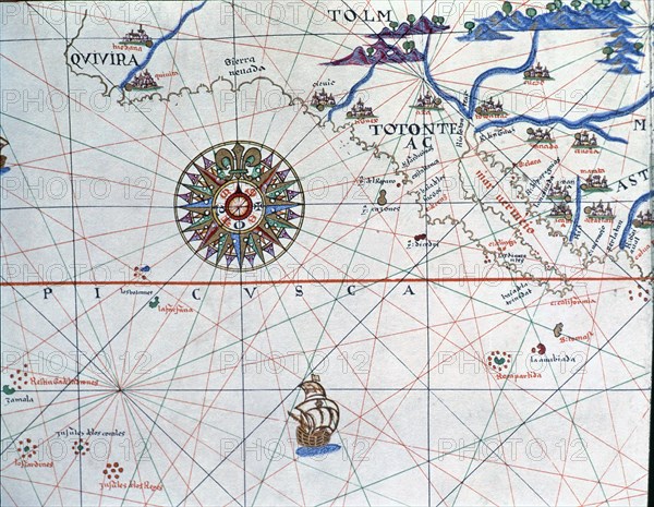
Atlas of Joan Martines, Messina, 1582. Portulan chart of Alta and Baja California and the Pacific?
Légende
Atlas of Joan Martines, Messina, 1582. Portulan chart of Alta and Baja California and the Pacific Ocean.
Crédit
Photo12/Heritage Images/Index
Notre référence
HRM19E81_395
Model release
Non
Licence
Droits gérés
Format disponible
52,1Mo (4,5Mo) / 41,0cm x 31,8cm / 4843 x 3759 (300dpi)