Sujet
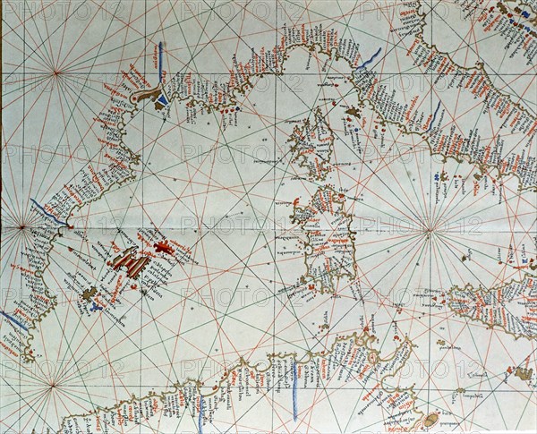
Atlas of Joan Martines, Messina, 1582. Portulan chart of western Mediterranean, with European coa?
Légende
Atlas of Joan Martines, Messina, 1582. Portulan chart of western Mediterranean, with European coast from Cartagena to the south of Naples, islands of Corsica, Sardinia, the Balearic Islands and the coast of North Africa.
Crédit
Photo12/Heritage Images/Index
Notre référence
HRM19E81_397
Model release
Non
Licence
Droits gérés
Format disponible
54,3Mo (4,8Mo) / 41,0cm x 33,2cm / 4843 x 3917 (300dpi)