Sujet
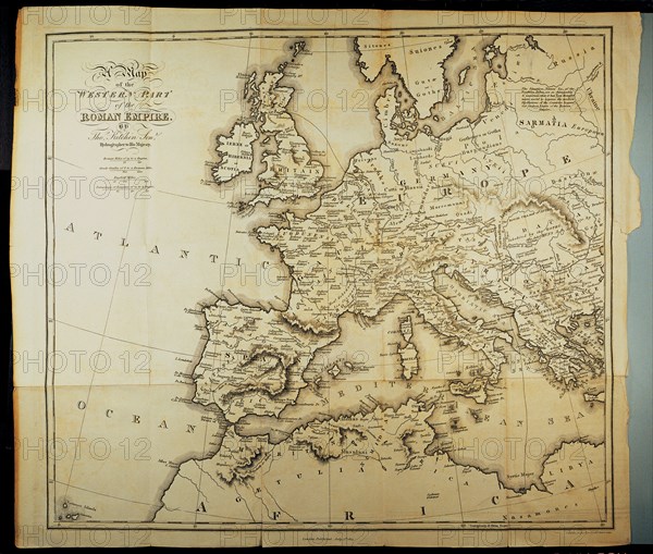
Map of the Roman provinces in times of Hadrian, printed in London in 1815.
Légende
Map of the Roman provinces in times of Hadrian, printed in London in 1815.
Crédit
Photo12/Heritage Images/Index
Notre référence
HRM19E94_260
Model release
Non
Licence
Droits gérés
Format disponible
40,1Mo (4,0Mo) / 34,4cm x 29,2cm / 4059 x 3450 (300dpi)