Sujet
Map of Assyria, Chaldea and Adjacent Countries', 1890.
Légende
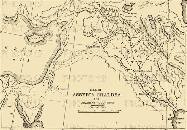
'Map of Assyria, Chaldea and Adjacent Countries', 1890. Assyria was a Mesopotamian kingdom from 25th century BC to 612 BC- 609 BC. Chaldea was a country between the late 10th or early 9th and mid-6th centuries BC, after which it was absorbed and assimilated into Babylonia. From "Cassell's Illustrated Universal History, Vol. I - Early and Greek History", by Edmund Ollier. [Cassell and Company, Limited, London, Paris and Melbourne, 1890]
Date
1890
Crédit
Photo12/Heritage Images/The Print Collector
Notre référence
HRM19F21_446
Model release
Non
Licence
Droits gérés
Format disponible
62,6Mo (2,9Mo) / 47,4cm x 33,1cm / 5598 x 3906 (300dpi)