Sujet
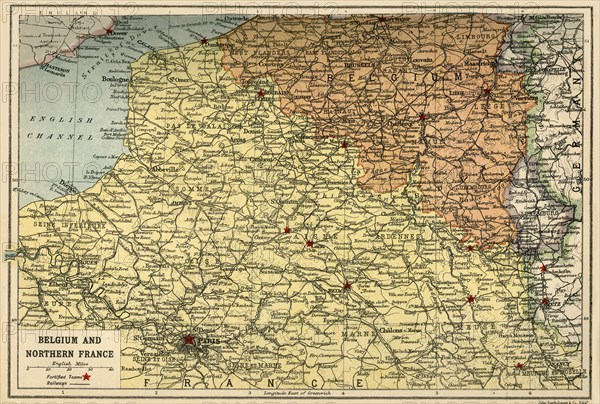
Map of Belgium and Northern France, c1914, (c1920). Creator: John Bartholomew & Son.
Légende
Map of Belgium and Northern France, c1914, (c1920). How the area looked at the start of the First World War. From "The Great World War - A History" Volume I, edited by Frank A Mumby. [The Gresham Publishing Company Ltd, London, c1920]
Date
1914
Crédit
Photo12/Heritage Images/The Print Collector
Notre référence
HRM19F26_019
Model release
NA
Property release
NA
Licence
Droits gérés
Format disponible
64,0Mo (7,5Mo) / 48,7cm x 32,9cm / 5756 x 3885 (300dpi)