Sujet
Map of Chertsey Abbey, 1432, (1944). Creator: Unknown.
Légende
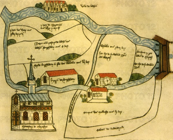
Map of Chertsey Abbey, 1432, (1944). Plan of Chertsey Abbey and estate in Surrey, showing the Benedictine monastery, Oxlake Mill, bridge over the river Thames, the village of Laleham, Burghwey Barn and Redewynd Causeway. manuscrit in the National Archives at Kew, London. From "British Maps and Map-Makers", by Edward Lynam. [Collins, London, 1944]
Crédit
Photo12/The Print Collector
Notre référence
HRM19G32_472
Model release
NA
Property release
NA
Licence
Droits gérés
Format disponible
63,7Mo (2,9Mo) / 44,5cm x 35,9cm / 5254 x 4241 (300dpi)