Sujet
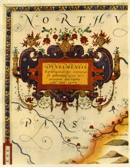
'Cartouche by A. Ryther on Saxton's Map of Durham, 1576', (1944). Creator: Augustine Ryther.
Légende
Cartouche by A. Ryther on Saxton's Map of Durham, 1576', (1944). Detail on a map the county of Durham, (the Latin word 'Dunelmensis' means of or from Durham). One of 35 coloured maps in "Atlas of the Counties of England and Wales", the first atlas of any country, made by Christopher Saxton. manuscrit in the British Library in London. From "British Maps and Map-Makers", by Edward Lynam. [Collins, London, 1944]
Crédit
Photo12/The Print Collector
Notre référence
HRM19G32_474
Model release
NA
Property release
NA
Licence
Droits gérés
Format disponible
62,5Mo (2,8Mo) / 35,0cm x 44,8cm / 4133 x 5286 (300dpi)