Sujet
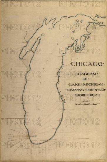
Plate 35 from Plan of Chicago 1909: Chicago, and Diagram of Lake Michigan. Proposed Roadway... Creator: Daniel Burnham.
Légende
Plate 35 from Plan of Chicago 1909: Chicago, and Diagram of Lake Michigan. Proposed Roadway to connect all the towns along the shores of the Lake, 1909.
Crédit
Photo12/Heritage Images/Heritage Art
Notre référence
HRM21B26_107
Model release
NA
Property release
NA
Licence
Droits gérés
Format disponible
17,1Mo (559,1Ko) / 16,8cm x 25,4cm / 1988 x 3000 (300dpi)