Sujet
Map of Steenwijk Fortress, c.1650-c.1799. Creator: Anon.
Légende
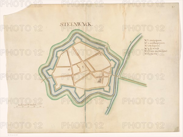
Map of Steenwijk Fortress, c.1650-c.1799. Bottom left a scale: range of 50 rods. At the top right an inscription.
Crédit
Photo12/Heritage Images/Heritage Art
Notre référence
HRM23A84_413
Model release
NA
Property release
NA
Licence
Droits gérés
Format disponible
70,8Mo (2,1Mo) / 48,5cm x 36,6cm / 5732 x 4318 (300dpi)