Sujet
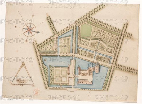
Map of Rosendael Castle, c.1650-before 1722. Creator: Anon.
Légende
Map of Rosendael Castle, c.1650-before 1722. Map of the castle and the gardens. Bottom left a compass with a scale: Rijnlande rods.
Crédit
Photo12/Heritage Images/Heritage Art
Notre référence
HRM23A84_415
Model release
NA
Property release
NA
Licence
Droits gérés
Format disponible
48,0Mo (2,2Mo) / 40,6cm x 29,7cm / 4792 x 3502 (300dpi)