Sujet
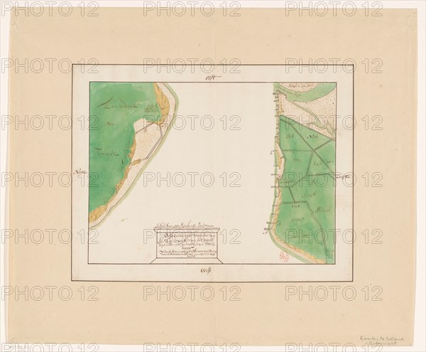
Map of Den Helder and part of Texel with the intervening Marsdiep, in or after 1688. Creator: Anon.
Légende
Map of Den Helder and part of Texel with the intervening Marsdiep, in or after 1688. Scale of 500 Rijnlantse rods. Orientation: the north left.
Crédit
Photo12/Heritage Images/Heritage Art
Notre référence
HRM23A84_418
Model release
NA
Property release
NA
Licence
Droits gérés
Format disponible
66,2Mo (2,1Mo) / 44,8cm x 37,0cm / 5292 x 4372 (300dpi)