Sujet
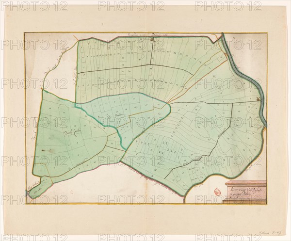
Map of the East Bijlmer and Gein and Gaasperpolder, 1650-1750. Creator: Anon.
Légende
Map of the East Bijlmer and Gein and Gaasperpolder, 1650-1750. Manuscript map. At the bottom right the title.
Crédit
Photo12/Heritage Images/Heritage Art
Notre référence
HRM23A84_421
Model release
NA
Property release
NA
Licence
Droits gérés
Format disponible
81,5Mo (3,8Mo) / 49,6cm x 41,1cm / 5862 x 4858 (300dpi)