Sujet
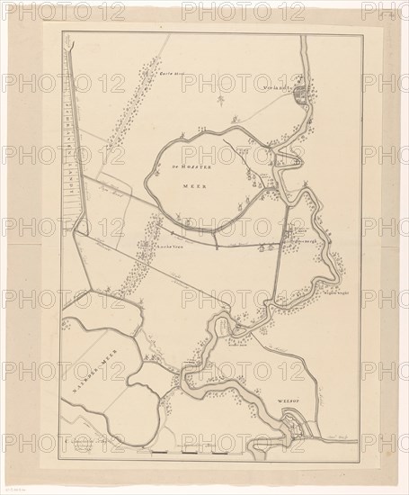
Map of a part of the Gooi, 1636-1799. Creator: Cornelis Danckerts de Ry.
Légende
Map of a part of the Gooi, 1636-1799. Hand-drawn map showing the course of the Vecht from Vreeland to Weesp, the Naardermeerpolder, the Hostermeerpolder and surrounding areas.
Crédit
Photo12/Heritage Images/Heritage Art
Notre référence
HRM23A85_012
Model release
NA
Property release
NA
Licence
Droits gérés
Format disponible
80,1Mo (3,4Mo) / 40,8cm x 49,2cm / 4814 x 5814 (300dpi)