Sujet
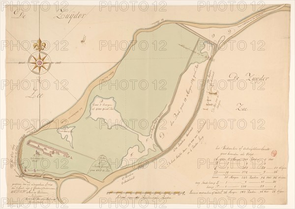
Map of the island of Urk, 1720. Creator: Maurits Walraven.
Légende
Map of the island of Urk, 1720. Map hand-drawn in 1720 by surveyor Maurits Walraven based on two anonymous maps. Bottom centre: scale of 160 Rhineland rods. At the bottom right the key and information about flooded pieces of land on the island, which are indicated on the map with the letters A to F.
Crédit
Photo12/Heritage Images/Heritage Art
Notre référence
HRM23A86_002
Model release
NA
Property release
NA
Licence
Droits gérés
Format disponible
82,4Mo (2,9Mo) / 53,9cm x 38,3cm / 6370 x 4522 (300dpi)