Sujet
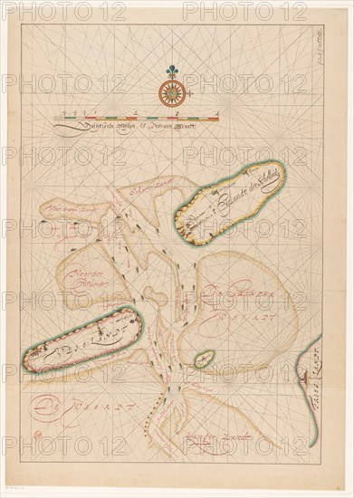
Vlieland map, Terschelling, part of Friesland and the surrounding sandbanks, c.1620-c.1699. Creator: Anon.
Légende
Vlieland map, Terschelling, part of Friesland and the surrounding sandbanks, c.1620-c.1699.
Crédit
Photo12/Heritage Images/Heritage Art
Notre référence
HRM23A86_472
Model release
NA
Property release
NA
Licence
Droits gérés
Format disponible
98,2Mo (5,0Mo) / 41,8cm x 58,8cm / 4942 x 6942 (300dpi)