Sujet
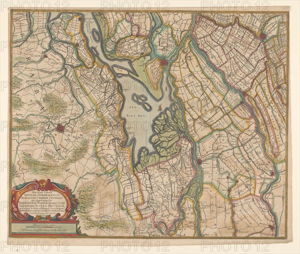
Map of parts of North Brabant, South Holland and Gelderland, 1629. Creator: Balthasar Florisz. van Berckenrode.
Légende
Map of parts of North Brabant, South Holland and Gelderland, 1629. The surroundings of the Bies Bos, sailing ship. Bottom left a cartouche with the title with the scale in German miles (1: 100,000).
Crédit
Photo12/Heritage Images/Heritage Art
Notre référence
HRM23A87_145
Model release
NA
Property release
NA
Licence
Droits gérés
Format disponible
62,0Mo (4,8Mo) / 42,8cm x 36,3cm / 5056 x 4284 (300dpi)