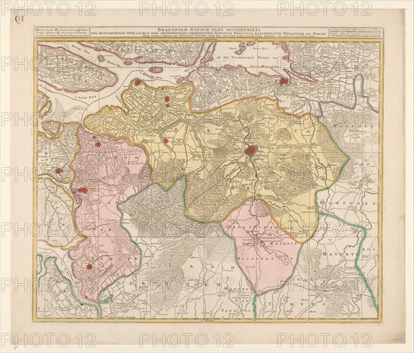
Sujet
Map of the Baronie van Breda, c.1780. Creator: Nicolaes Visscher.
Légende
Map of the Baronie van Breda, c.1780. At the top left list of towns and villages. At the top right the scale in German and French miles.
Crédit
Photo12/Heritage Images/Heritage Art
Notre référence
HRM23A89_096
Model release
NA
Property release
NA
Licence
Droits gérés
Format disponible
82,9Mo (5,3Mo) / 49,3cm x 42,1cm / 5828 x 4972 (300dpi)