Sujet
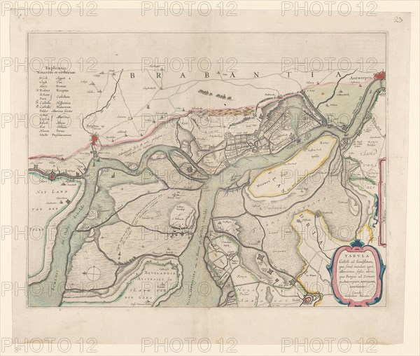
Map of the surroundings of Zandvliet, 1642. Creator: Willem Blaeu.
Légende
Map of the surroundings of Zandvliet, 1642. The north on the left, the borders coloured, cities, buildings and flags indicated. At the top left Explanation of the symbols on the map.
Crédit
Photo12/Heritage Images/Heritage Art
Notre référence
HRM23A89_199
Model release
NA
Property release
NA
Licence
Droits gérés
Format disponible
60,0Mo (3,6Mo) / 42,1cm x 35,7cm / 4974 x 4214 (300dpi)