Légende
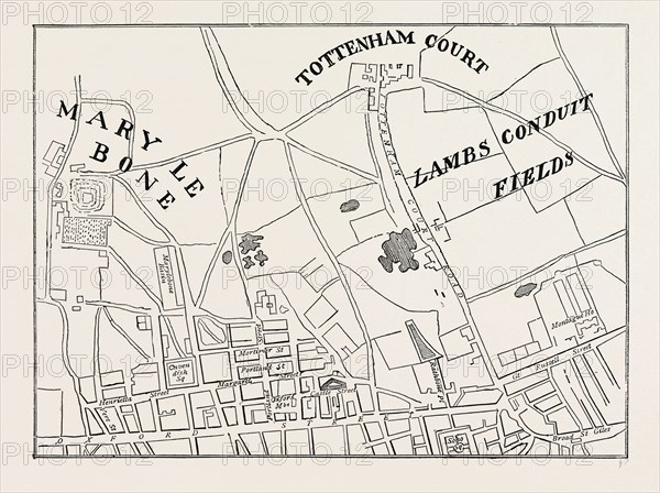
Map of Rathbone Place and neighbourhood, 1746, London, UK, 19th century engraving
Date
1746
Crédit
Photo12/Liszt Collection/Quint Lox Limited
Notre référence
LZT16A02_133
Licence
Droits gérés
Format disponible
64,3Mo (2,8Mo) / 46,4cm x 34,7cm / 5484 x 4096 (300dpi)