Légende
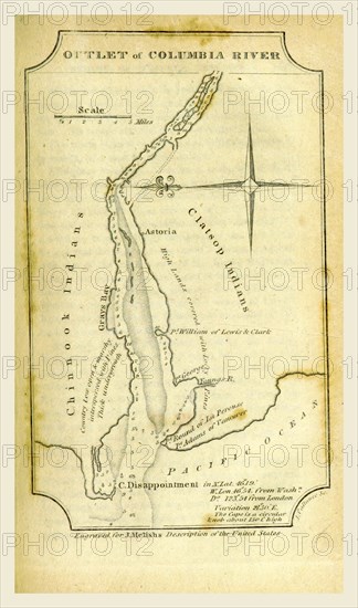
Columbia river map, A Geographical Description of the United States with the contiguous British and Spanish Possessions, intended as an accompaniment to Melish's map of these countries, 19th century engraving, US
Crédit
Photo12/Liszt Collection/Quint Lox Limited
Notre référence
LZT16A62_162
Licence
Droits gérés
Format disponible
30,5Mo (1,2Mo) / 21,2cm x 36,0cm / 2507 x 4248 (300dpi)