Légende
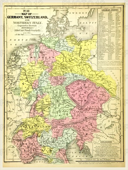
Map of Germany and Switzerland, 19th century engraving, Mitchell's Atlas
Crédit
Photo12/Liszt Collection/Quint Lox Limited
Notre référence
LZT16A63_108
Licence
Droits gérés
Format disponible
88,6Mo (4,6Mo) / 40,9cm x 54,3cm / 4829 x 6415 (300dpi)