Légende
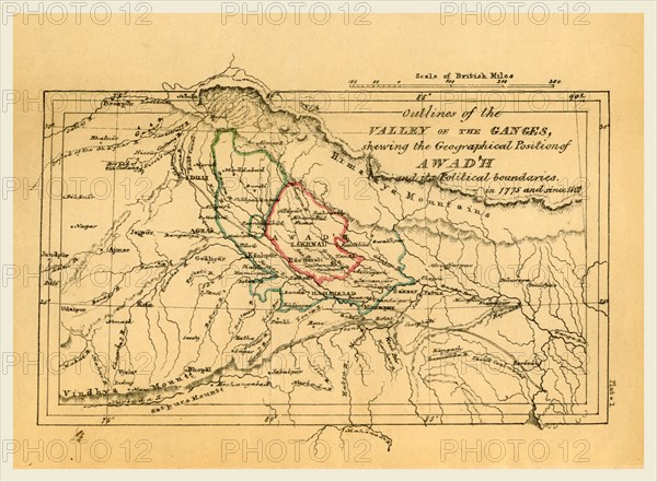
Map valley of the Ganges India, Outline of the Topography and Statistics of the Southern Districts of Oud'h, and of the cantonment of Sultanpur-Oud'h, 19th century engraving
Crédit
Photo12/Liszt Collection/Quint Lox Limited
Notre référence
LZT16A63_118
Licence
Droits gérés
Format disponible
57.0Mo (2.2Mo) / 44.0cm x 32.4cm / 5202 x 3827 (300dpi)