Légende
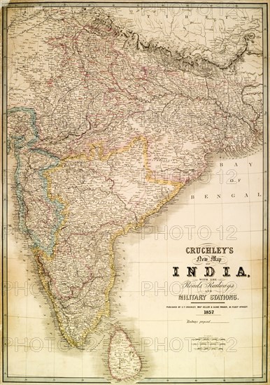
Cruchley's map of India, 1857. A map of India, detailing the roads, railways and military stations of India and Ceylon (Sri Lanka) during the British Raj. India, 1857. India, Southern Asia, Asia.
Crédit
Photo12/Universal Images Group
Notre référence
UMG12A07_431
Licence
Droits gérés
Format disponible
73,6Mo (6,5Mo) / 36,0cm x 51,2cm / 4249 x 6052 (300dpi)