Sujet
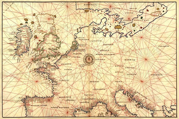
Portolan Map of Spain, England, France, Germany, The British Isles 1544
Légende
Portolan Map of Spain, England, France, Germany, The British Isles. Done in 1544 by the Italian cartographer Battista Agnese.
Crédit
Photo12/Universal Images Group
Notre référence
UMG20A00_295
Model release
NA
Property release
NA
Licence
Droits gérés
Format disponible
49,1Mo (10,9Mo) / 43,1cm x 28,6cm / 5088 x 3375 (300dpi)