Sujet
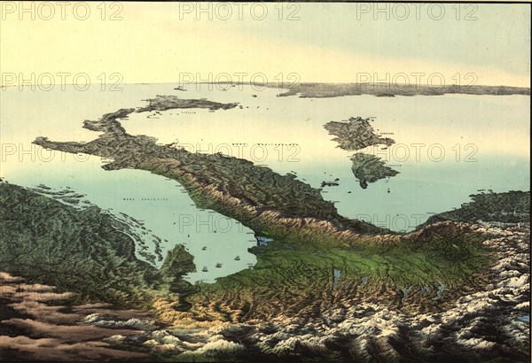
Pictorial aerial map of the Italian Peninsula & Sicily - 1800's 1800's
Légende
Pictorial aerial map of the Italian Peninsula & Sicily - 1800's
Crédit
Photo12/Universal Images Group
Notre référence
UMG20A02_237
Model release
NA
Property release
NA
Licence
Droits gérés
Format disponible
50,9Mo (5,1Mo) / 43,2cm x 29,5cm / 5100 x 3487 (300dpi)