Sujet
Oxford University Area Pocket Guide, England - 1805 1805
Légende
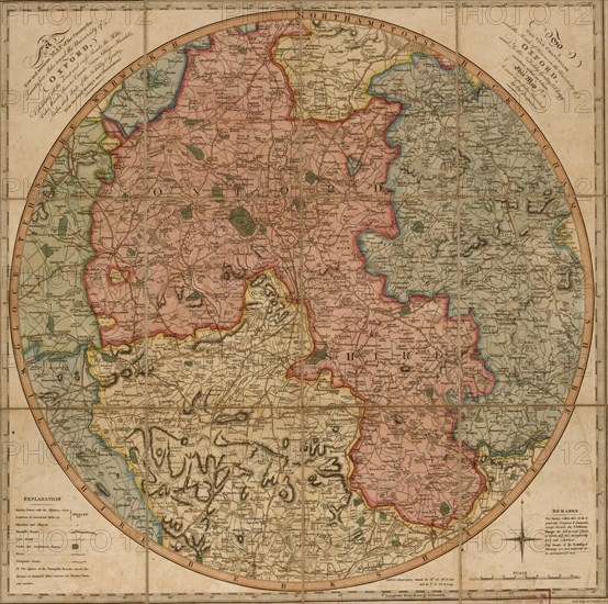
A new and accurate map of the country for twenty five miles round the University of Oxford : exhibiting all the direct and cross roads, the hills, vales, woods, rivers, canals, towns, villages, hamlets, parks, and seats of the nobility & gentry
Crédit
Photo12/Universal Images Group
Notre référence
UMG20A02_242
Model release
NA
Property release
NA
Licence
Droits gérés
Format disponible
73,8Mo (6,4Mo) / 43,2cm x 42,8cm / 5100 x 5056 (300dpi)