Sujet
Yorktown Siege 1862
Légende
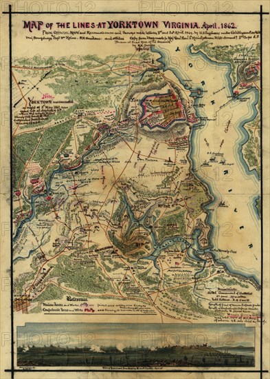
Map of the lines at Yorktown, Virginia, April 1862. From official maps and reconnaissance's and surveys made between 3rd and 30th April 1862 by U.S. Engineers under Col. Alexander U.S.A. Maj. Humphreys and Capt. Wm. Heine, R.K. Sneden and others.
Date
1862
Crédit
Photo12/Universal Images Group
Notre référence
UMG20A02_491
Model release
NA
Property release
NA
Licence
Droits gérés
Format disponible
41,9Mo (9,1Mo) / 27,4cm x 38,3cm / 3237 x 4526 (300dpi)