Sujet
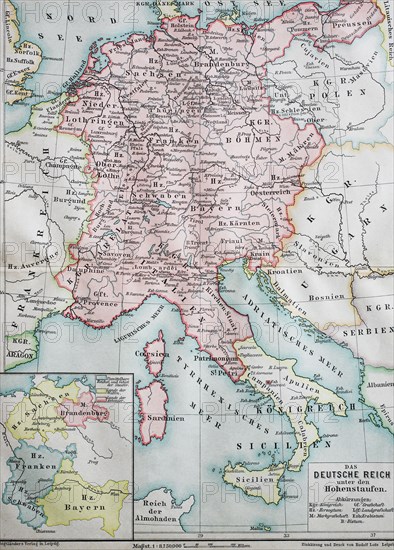
Historical map of the german empire at the time of the Hohenstaufen
Légende
Historical map of the german empire at the time of the Hohenstaufen, ca 1200 / Historische Landkarte, das Deutsche Reich unter den Hohenstaufen, ca 1200.
Crédit
Photo12/UIG/Bildagentur-online
Notre référence
UMG20B45_494
Licence
Droits gérés
Format disponible
30,9Mo (2,4Mo) / 23,6cm x 32,9cm / 2787 x 3881 (300dpi)