Sujet
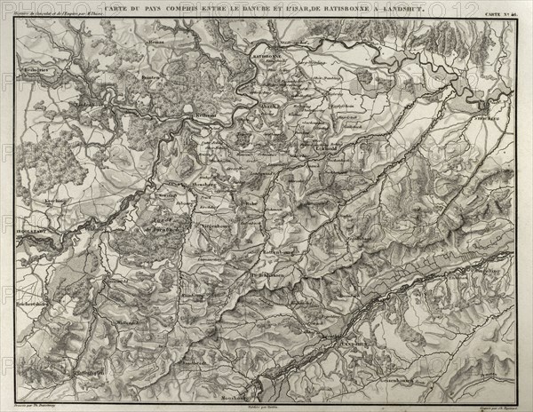
Territory between the Danube and Isar rivers, from Regensburg to Landshut.
Légende
Napoleonic map. Territory between the Danube and Isar rivers, from Regensburg to Landshut (Germany). Atlas de l'Histoire du Consulat et de l'Empire. History of the Consulate and the Empire of France under Napoleon by Marie Joseph Louis Adolphe Thiers (1797-1877). Drawings by Dufour, engravings by Dyonnet. Edited in Paris, 1864.
Date
1864
Crédit
Photo12/UIG/PHAS
Notre référence
UMG21A15_026
Licence
Droits gérés
Format disponible
47,0Mo (3,1Mo) / 39,0cm x 30,2cm / 4606 x 3569 (300dpi)