Sujet
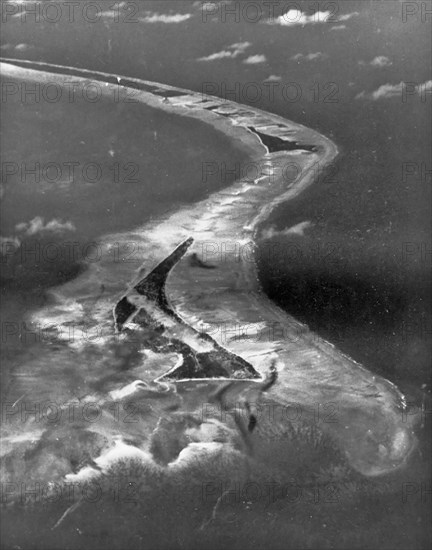
Aerial photograph of the south side of Tarawa Atoll
Légende
An aerial photograph of the south side of Tarawa Atoll, taken by Navy Squadron VC-24 on Sept. 9, 1943, from an altitude of 12,000 feet. Betio Island is in the foreground, with Bairiki and Eita Islands beyond
United States
Date
09 sept. 1943
Crédit
Photo12/Universal Images Group/HUM Images
Notre référence
UMG22A01_160
Model release
Non
Property release
Non
Licence
Droits gérés
Format disponible
5,5Mo (232,0Ko) / 10,4cm x 13,2cm / 1224 x 1558 (300dpi)