Sujet
Antique map of North and South America - ca. 1772
Légende
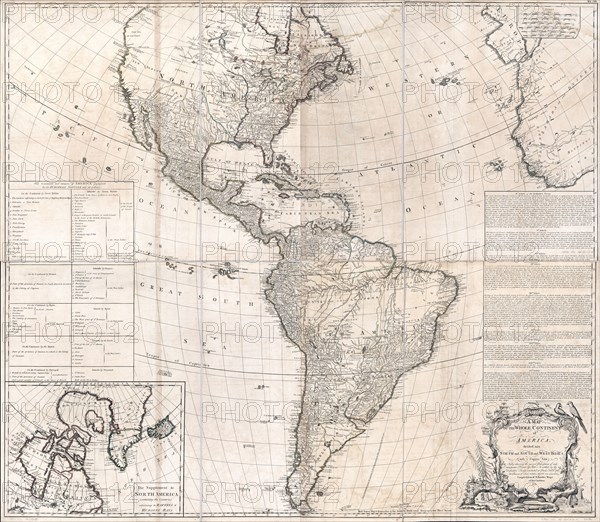
A map of the whole continent of America, divided into North and South and West Indies with a copius table fully shewing the several possessions of each European Prince & State, as settled by the definitive treaty concluded at Paris Feby. 10th 1763 the clauses of which relative thereto are inserted.
Crédit
Photo12/Universal Images Group/HUM Images
Notre référence
UMG22A24_478
Model release
Non
Property release
Non
Licence
Droits gérés
Format disponible
82,7Mo (9,4Mo) / 48,8cm x 42,5cm / 5760 x 5018 (300dpi)