Sujet
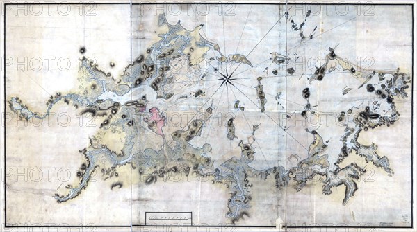
Vintage Maps / Antique Maps - Boston Harbour, with the surroundings ca. 1770s
Légende
Vintage Maps / Antique Maps - Boston Harbour, with the surroundings ca. 1770s.
Crédit
Photo12/Universal Images Group/HUM Images
Notre référence
UMG22A30_049
Model release
Non
Property release
Non
Licence
Droits gérés
Format disponible
26,0Mo (1,8Mo) / 34,1cm x 19,1cm / 4031 x 2253 (300dpi)