Sujet
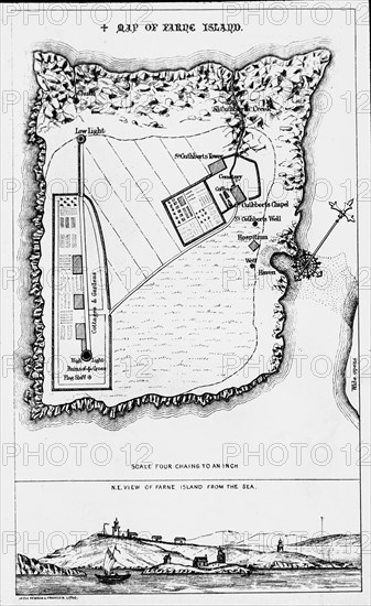
A map of the Farne Island.
Légende
A magic lantern slide circa 1900. Religious slides. A map of the Farne Island printed by Levey,Robson and Franklyn from around 1850.
Date
1900
Crédit
Photo12/UIG/Universal History Archive
Notre référence
UMG23A59_427
Model release
Non
Property release
Non
Licence
Droits gérés
Format disponible
45,6Mo (1,5Mo) / 26,5cm x 43,2cm / 3125 x 5100 (300dpi)