Sujet
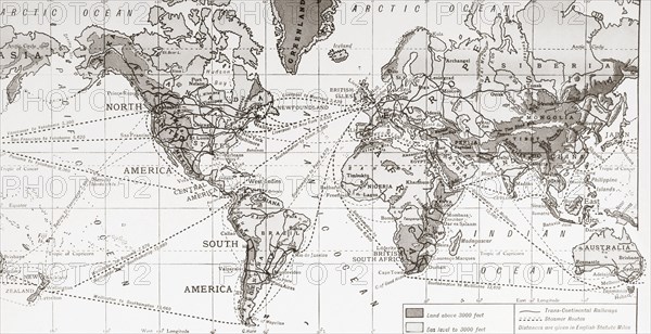
Physical map of the world.
Légende
Physical map of the world, showing the principal trade routes in the 1930's. The Antarctic and part of the Arctic Regions are omitted. From a contemporary print c.1935.
Date
1935
Crédit
Photo12/UIG/Universal History Archive
Notre référence
UMG23A61_061
Model release
Non
Property release
Non
Licence
Droits gérés
Format disponible
38,3Mo (2,0Mo) / 43,2cm x 22,2cm / 5100 x 2622 (300dpi)