Sujet
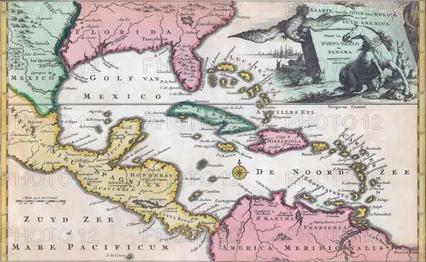
18th century map of Central America and the Gulf of Mexico.
Légende
18th century map of Central America and the Gulf of Mexico engraved by Balthasar Ruyter.
Crédit
Photo12/UIG/Universal History Archive
Notre référence
UMG23A62_325
Model release
Non
Property release
Non
Licence
Droits gérés
Format disponible
45,9Mo (2,8Mo) / 43,2cm x 26,7cm / 5100 x 3149 (300dpi)